


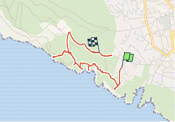

21 km | 26 km-effort

Benutzer


Kostenlosegpshiking-Anwendung
 SityTrail
IGN / Geografische Institute
SityTrail World
Die Welt öffnet sich für Sie
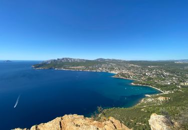
Tour Wandern von 4,4 km verfügbar auf Provence-Alpes-Côte d'Azur, Bouches-du-Rhône, La Ciotat. Diese Tour wird von ego vorgeschlagen.
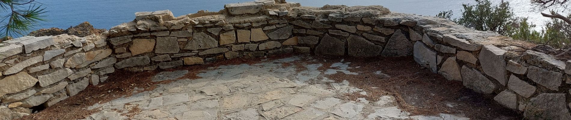
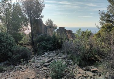
sans emprunter la route ,par la colline , il y a un bref passage (5 mètres) ,au fond du vallon du Cannier, équipé de pitons (pas de cordes) , non vertigineux , mais qui demande de l'attention


Rennrad

Wandern

Wandern

Wandern
Wandern

Wandern

Wandern
Wandern
Wandern